Continuing our trip (detailed in Part 1) we departed Reykjavik early in the morning and traveled north. We booked 3-nights in Grundarfjörur, the ideal starting point from which to tour the Snaefellsnes Peninsula. To stretch the budget, we stocked up on provisions for the next several nights before leaving. The day was spent driving up the coast with a few breaks in between.
You arrive at the Hvalfjörur Tunnel exit after a 30-minute journey from Reykjavik. Although taking the tunnel will save you time, I highly encourage going around Hvalfjörur instead, as you'll be met with breathtaking views of the fjord and Glymur Waterfall, our first stop. With a 198m cascade, Glymur is the second-highest waterfall in Iceland. The map instructed us to turn right at the first two "Y" junctions, so we set out and began a strenuous hike up to a highland plateau without realizing the first "Y" intersection really offered us a choice of two distinct paths from the parking lot, our first wrong turn of the trip! We realized we were on the wrong trail after a few uphill kilometres and confronting a snow wall! (In addition, a number of women followed our example.) We turned around, to get back on track, only to discover the river crossing to reach the waterfall was absolutely inaccessible. The tree trunk "bridge" had been washed away, the water waist-high deep, concluding our first stop unsuccessful. As my wife always says, at least we got our steps in.
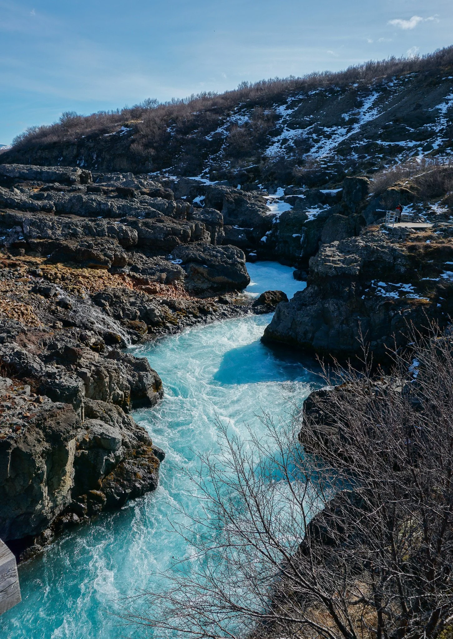
Next stop, Hraunfossar Waterfall. The name is derived from the words for waterfalls and lava in Icelandic. The magnificent formation is a series of waterfalls formed by rivulets streaming over a distance of about 900 metres out of the Hallmundarhraun, a lava field which flowed from an eruption of one of the volcanoes lying under the glacier Langjökull. The colour of the ice blue water, against the backdrop of endless ruggered lava fields, takes you back in time of when land was being created.
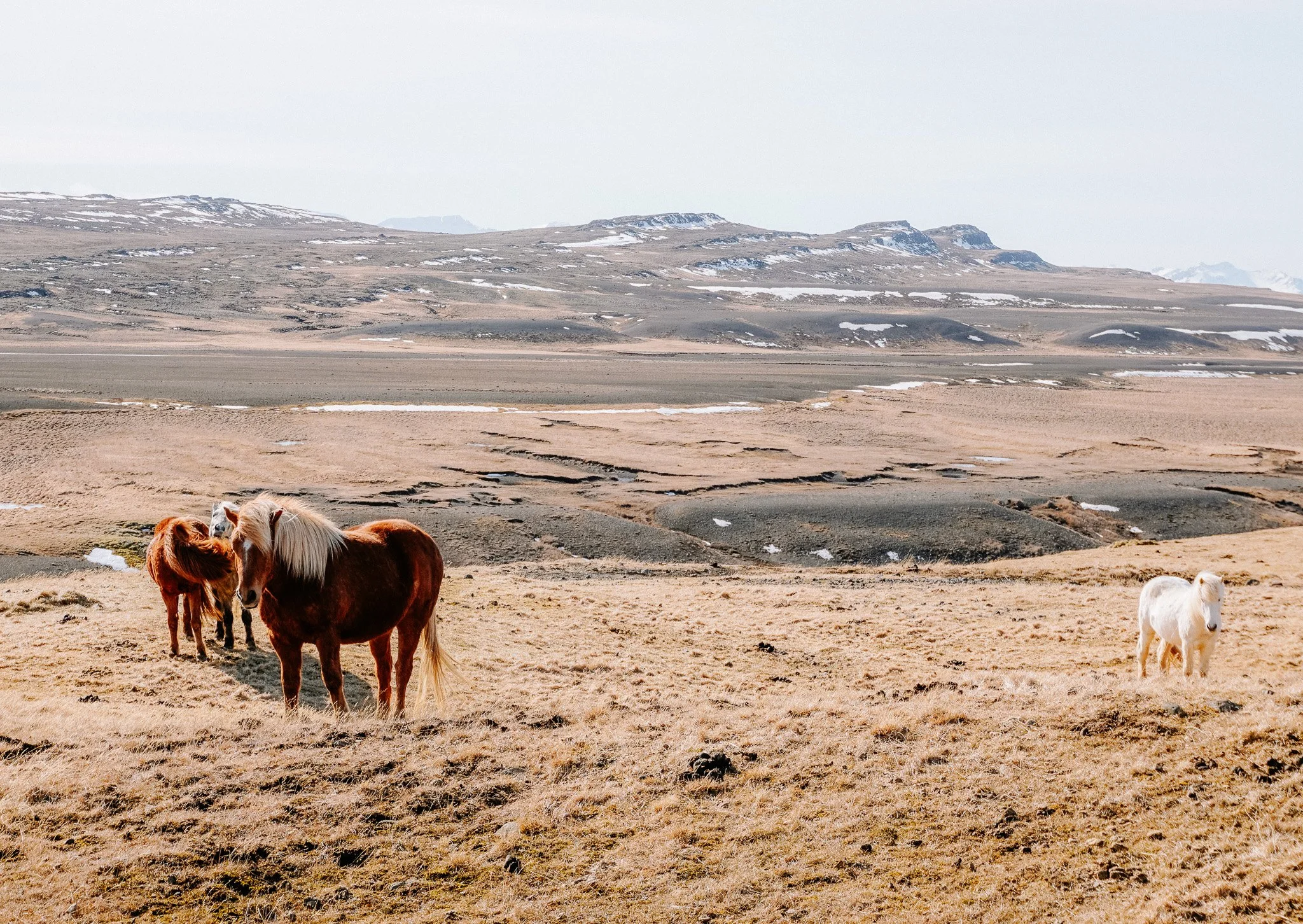
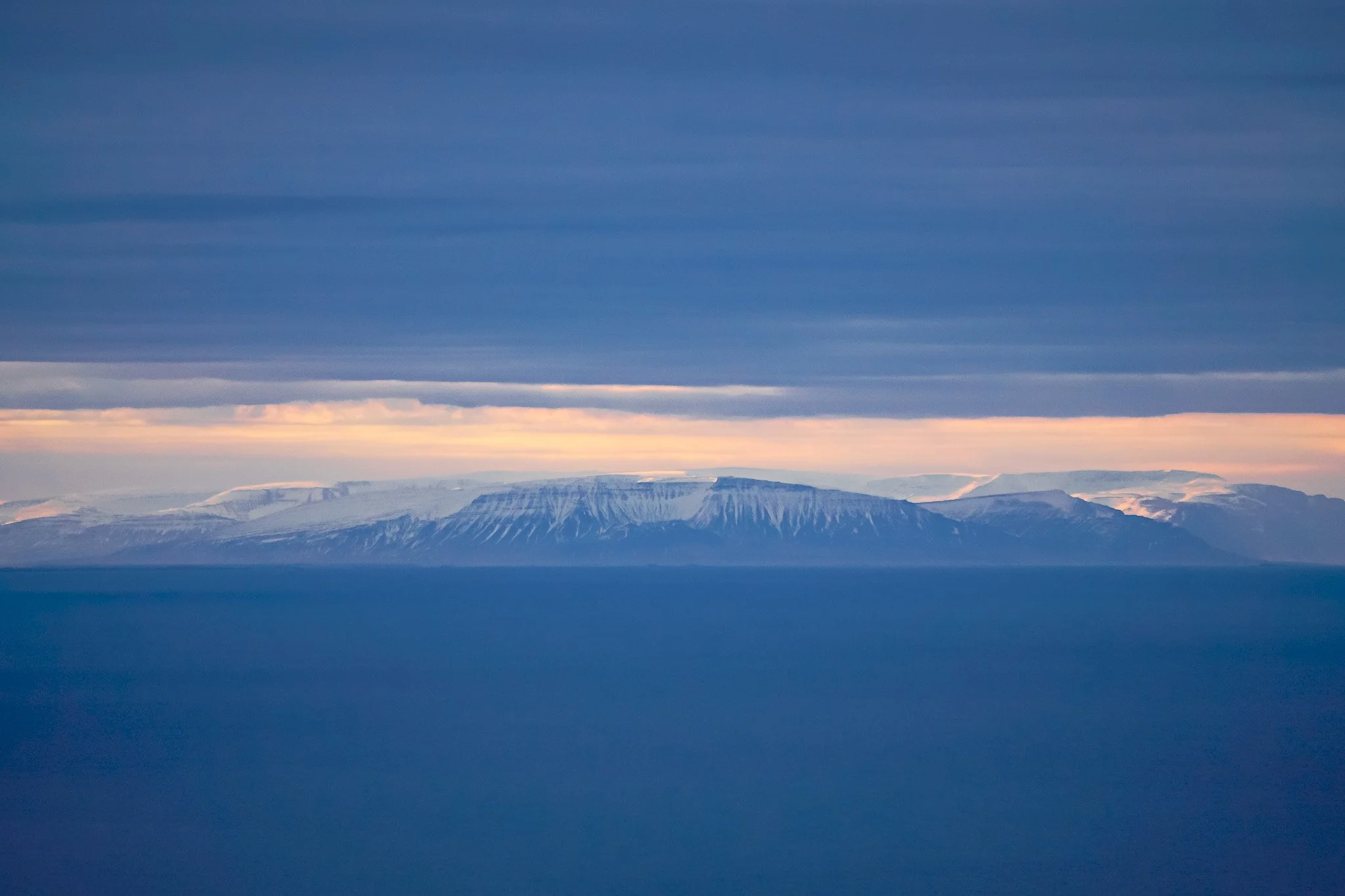
Reaching the northern edge of the Snaefellsnes Peninsula, the scenery begins to change to arid lava, and green moss-filled surroundings. We took a break at Lftafjöur, which had a stunning panoramic views of the ocean and white capped mountains. Before calling it a day, we visited Kolgrafarfjördur Viewpoint and Bjarnarhöfn Church.
Day two began at 3 a.m. due to the possibility of aurora activity, we drove 10 minutes to Kirkjufell to try our luck. Despite the cloud cover, I took out my wide-angle lens and enjoyed the peaceful night sky and the sight of dawn. This is one of Iceland's most photographed locations, so get there as early as possible! We took a short hike out to Kirkjufellfoss as the sun rose to capture the morning glow with the waterfall and mountain!
A short drive west, followed by a hike and a river crossing we made it to Svöðufoss. This spot has been considered a hidden gem for years, which is crazy for just how beautiful it is. Snæfellsjökull, a glacier-capped stratovolcano 700,000 years old, dominates the landscape from a distance. During our drive around the peninsula, this pure white peak was a constant companion. The Maritime Museum in the Fisherman's Garden and Ingjaldshóll provide additional opportunities to photograph the glacier peaks.
The golden sands of Skarsvk Beach stand in stark contrast to Iceland's ash black sand beaches. The contrast between the turquoise waters and the surrounding dark basalt cliffs makes this a truly cinematic playground for photographers. Saxhóll Crater was the day's final stop. This volcano stands alone in a lava field, with a crater about 100m high and steps leading directly from the parking lot. We had a 360° view from the top, ending our day with stunning views of Snaefellsjökull and the North Atlantic.
3am… Pull back the blinds to complete cloud coverage. With a slight guilt of pleasure, hopped back into bed for a sleep in. Day three begins with Snaefellsvegur, road 54 that runs from north to south across Snaefellsnes. Before crossing, make sure to check the weather and road conditions! We were greeted with a beautiful sunrise as we began our descent before heading to our first destination, Bjarnarfoss. Legend has it that the "Lady of the Mountains" (Fjallkonan) stood beneath the waterfall, allowing the waterfall's spray to fall onto her shoulders. This act is said to be a representation of the Icelandic people. This place felt truly magical in a land full of dramatic landscapes.
The coastal village of Búðir is up next. We spent time watching the North Atlantic thrash into the basalt cliffs as a storm raged in the south! Búðir was once a prosperous fishing village and one of the busiest trading posts on Snaefellsnes. The black wooden church Búðakirkja is all that remains of Búðir's former community. With mountains on one side and the ocean on the other, it's easy to see why this is Iceland's most photographed church.
The Rauðfeldsgjá Gorge is next on the list. Rauðfeldsgjá is mentioned in a 14th-century saga called Bárðar Saga Snæfellsáss. The first part of the saga follows the half-giant Bárðar, who became the guardian spirit of the Snæfellsnes Peninsula after his death. His daughters were said to play with the local boys. One of these boys pushed one of his daughters out to sea, where she drifted all the way to Greenland on an iceberg. She found a lover here, but Bárðar punished this boy and his brother by throwing them into auðfeldsgjá gorge, thinking she was dead. A thin hairline crack appears from a distance, but as we edged closer, we discover it is a doorway into a fairy-tale cave. The level of difficulty exploring the cave is weather dependent, there was a lot of water at this time of year but travelling in early spring meant we had the place totally to ourselves!
After our cave exploration, it was time for lunch at Arnarstapi. The Stone Bridge, a natural bridge carved out of the basalt cliffs on the eastern side of town, provides a view back along the peninsula. We walked along the coastal paths all around town, taking in the magnificent view of the cliffs. On our way to our final destination, we stopped at Lóndrangar's sea stacks. The hike out to the coast is relatively easy and provides stunning views of the stacks and cliffs, which are teeming with birdlife.
Finally, we visited Djúpalónssandur beach. This was once home to sixty fishing boats and one of the most prolific fishing villages on the Snæfellsnes peninsula but today the bay is just scattered remnants of those boats along the black sands. Four lifting stones are in Djúpalónssandur, used by fishermen to test their strength. They are Fullsterkur ("full strength") weighing 154 kg, Hálfsterkur ("half strength") at 100 kg, Hálfdrættingur ("weakling") at 54 kg and Amlóði ("Useless") 23 kg. They were traditionally used to qualify men for work on fishing boats, with the Hálfdrættingur being the minimum weight a man would have to lift onto a ledge at hip-height to qualify. I managed to get Hálfsterkur off the ground, but the freezing cold conditions stopped me getting a grip… so officially a weakling!
Part 3 will take us to Northern and Eastern Iceland!